Planning and execution of development programmes and earth related studies necessitate accurate engineering information (flattened altitude and its quality) and this information must be up to date, and in different forms of maps (graphic, digital and pictorial) of the area under study.
All development projects are founded on surveying, and taking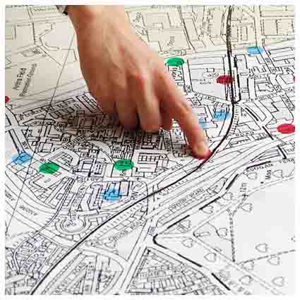 into consideration all the development projects executed be Sazab andish Con. Eng. Company, this company from its early years of consultancy services has been gathering and building up its experiences in this field of expertise and is proud of 20 years of operations and cooperation’s in the development and services for 280 projects in topography, routes, oil, gas and water transfer pipe lines, hydrograph, agricultural cad Astor, urban and semi urban and GIS, throughout the country and has fulfilled its national obligations and duties whole heartedly.
A great number of these projects, which are of great importance nationally, have been completed and are being exploited today. The experiences of one decades in this field have enabled this consultancy company’s engineers to perform projects such as: topography surveying and cad Astor .
Enriched this consultancy company with invaluable experience .
Hence Sazab andish Con. Eng. Company following its development goals and taking advantage of this science in various fields using its capabilities and the new and up to date soft wares can deliver the following services:
- Supply topography maps of different kind such as: urban and cad Astor maps, surveying and execution of projects such as: routes, pipeline networks, power transfer lines, registered and urban maps, provide digital altitude models in cases of data collection for ground methods. Provide cartography for presentation and printing the products.
- Micro geodesy in all services related to land surveying expertise as well as mine and tunnel surveying, micro geodesy, geology faults, displacement studies, behavior assessments of dams and technical structures and expansion of geodesic networks and accurate leveling.
All services related to land surveying in addition to photogerametry such as conversion of aerial and satellite pictures to maps and images, short range photogerametry and performing the distant assessment services, pictures processing and performing flattened geometrical corrections, remedy the displacement caused by difference in altitudes, perform spectrum correction, derive information and analyzing data digital altitude models (DTM, DEM, DSM).